
Five days gives enough time to get the full arc of the park: the pastoral west side in Tennessee, the high-elevation crossing at Newfound Gap, and the quieter, wilder terrain of the North Carolina slopes. The route covers Cades Cove, Roaring Fork, Kuwohi's summit, Cataloochee Valley's elk herd, and the Cherokee cultural corridor, with one afternoon carved out for towns. Plan to split nights between Gatlinburg (nights 1–3) and Cherokee (nights 4–5) to avoid repeating the 90-minute state-line crossing every day.
Day 1: Cades Cove
Leave Gatlinburg or Townsend by 6:30 a.m. The 11-mile one-way Cades Cove loop opens earlier than most visitors expect, and arriving before 8 means far fewer cars on the first stretch of road. Stop at the Becky Cable House and Cable Mill, which give a concrete sense of what subsistence farming looked like in this valley before the park was established; the Carter Shields Cabin near the far end of the loop is smaller and sees less foot traffic, and it's the quietest stop on the route.
After finishing the loop, hike Abrams Falls Trail: 5 miles out-and-back, rated moderate, with two creek crossings and a wide plunge pool at the end. Get back on the road by early afternoon. If you need a Park-It-Forward parking tag for the days ahead, the Cades Cove Visitor Center is a reliable place to pick one up before leaving the cove.
Dinner: Bennett's Pit Bar-B-Que in Gatlinburg doesn't require reservations and handles the evening crowd better than most places on the strip.
Day 2: Roaring Fork and the Falls Circuit
Breakfast at Crockett's Breakfast Camp, which opens early and moves quickly even on busy mornings, sets you up for a full day. Then drive the Roaring Fork Motor Nature Trail, a 5.5-mile one-way auto route departing near downtown Gatlinburg. The Alfred Reagan Place, a well-preserved homestead partway through, is worth a stop; the road is narrow enough that getting out to walk is better than idling through.
From the Roaring Fork trailheads, Grotto Falls Trail runs 2.6 miles round trip through old-growth forest to a falls you can walk directly behind. If the group has energy, Rainbow Falls Trail begins at the same parking area and adds 2.7 miles each way to reach an 80-foot cascade; the elevation gain is sustained and doesn't relent, but the falls at the top justify it.
Spend the evening in Gatlinburg. The SkyLift Park's SkyBridge gives the best ridge views late in the day, when the light flattens out across the ridgeline into North Carolina. Calhoun's Gatlinburg or Atrium Pancakes works well for dinner depending on what the group is after.
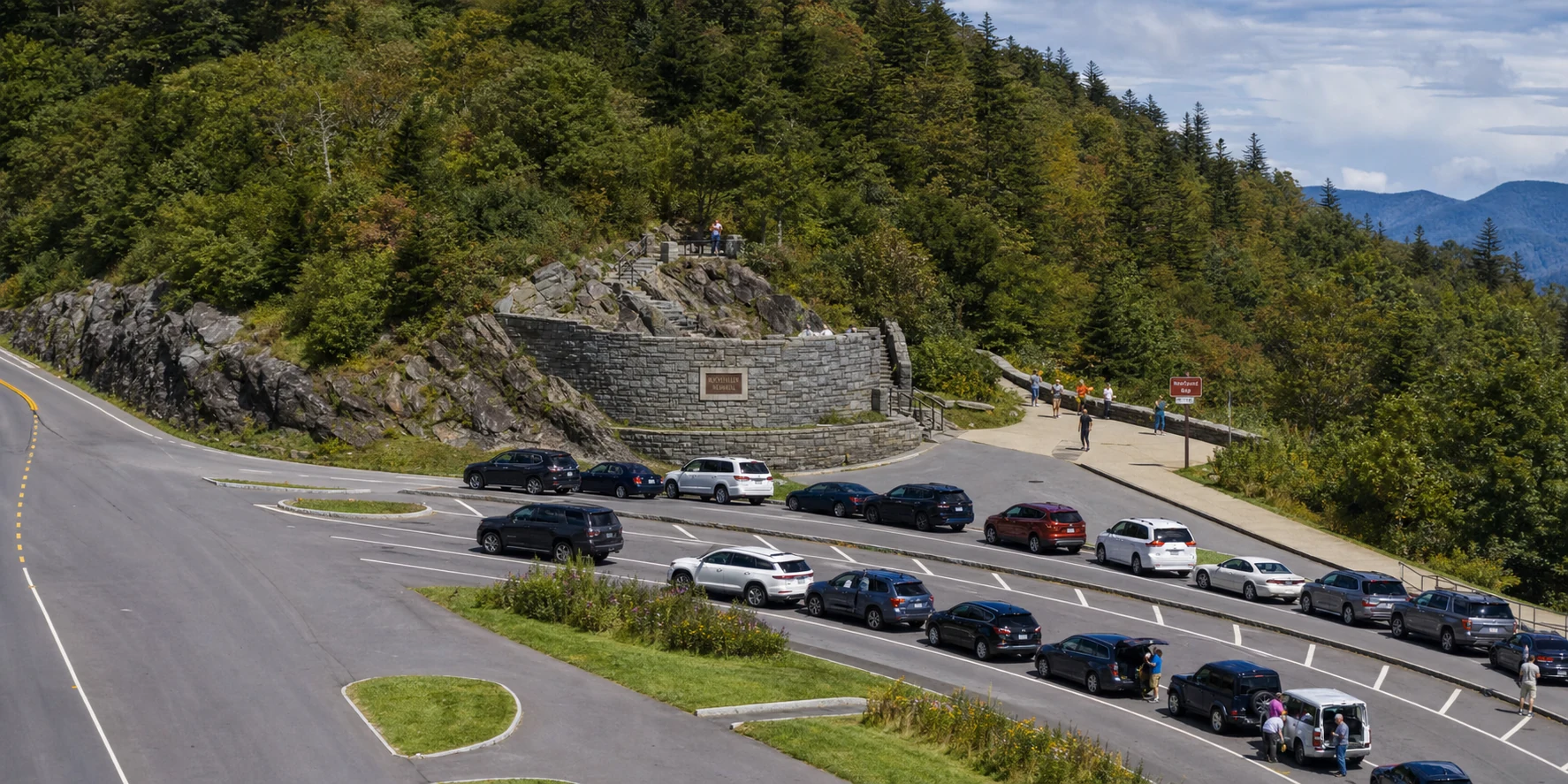
Day 3: Newfound Gap Road, Kuwohi, and the Crossing into North Carolina
Drive Newfound Gap Road south from Gatlinburg, stopping at the Campbell Overlook and Chimney Tops Overlook on the way up. The Newfound Gap parking area sits at 5,046 feet; temperatures there typically run 10 to 15 degrees cooler than the valley floor, so bring a layer regardless of the forecast. The Appalachian Trail crosses the gap here if you want a short out-and-back on the ridgeline before pushing higher.
Continue 7 miles on the spur road to Kuwohi, the Cherokee name for what was long called Clingmans Dome. The paved observation ramp is 0.5 miles and gains more than 300 feet; budget 25 to 30 minutes each way. From the same parking area, Andrews Bald Trail runs 1.8 miles via Forney Ridge through fir-spruce forest to one of the few grassy balds in the southern Appalachians. Elk have grazed here in recent seasons, and the bald itself is large enough that you'll often have it to yourselves.
Cross into North Carolina in the afternoon; the drive from Kuwohi to Cherokee takes about 45 minutes. Dinner at Cork & Bean Bistro is unhurried and worth it after a long day at elevation.
Day 4: Cataloochee Valley and the Cherokee Corridor
Set an alarm. The elk herd at Cataloochee is in the fields at dawn, and the 45-minute drive from Cherokee runs through Jonathan Creek and up a gravel road that gets busy once daylight hits. Caldwell House and Beech Grove School, two of the valley's surviving historic structures, sit along the valley floor and are easy to visit on foot while the animals move.
For a proper hike, Caldwell Fork Trail runs 5.7 miles from the main trailhead and rates moderate; the Boogerman Trail loop branches off at 7.1 miles (strenuous) and passes through some of the largest old-growth timber left in the park. Return to Cherokee by early afternoon.
The Museum of the Cherokee People deserves at least 90 minutes. Oconaluftee Indian Village, adjacent, offers guided tours of a reconstructed 18th-century Cherokee town; the two together give historical depth you won't find anywhere else on this route. Before dinner, drive the short access road to Mingo Falls: 120 feet of water dropping into a gorge, reachable via a 0.15-mile walk from the parking area.
Day 5: Deep Creek and Departure
Deep Creek, just north of Bryson City, is the calmest major access point on the North Carolina side of the park. The Deep Creek Loop covers 2.4 miles and passes three waterfalls on a well-maintained trail; Juney Whank Falls at 0.6 miles from the trailhead is the easiest to reach and well worth the short detour. Indian Creek Trail adds 1.6 flatter miles through open forest if the group wants more ground before heading out.
If the return route runs through Pigeon Forge, Dollywood is a full day on its own and worth planning ahead for. Old Forge Distillery is a shorter stop that fits naturally into an afternoon drive north. Leave your Park-It-Forward tag on the car at the last trailhead, or hand it directly to an incoming visitor at the gate.