
Roaring Fork Motor Nature Trail is a narrow, winding 5.5-mile one-way loop that begins at traffic light #8 in Gatlinburg and delivers visitors into an astonishingly preserved corner of the Great Smoky Mountains. The road parallels the Roaring Fork stream for most of its length, passes through old-growth hemlock cove forest, and threads a cluster of hand-built 19th-century homesteads — log cabins, cantilever barns, and working water-powered tub mills — that have been kept in place almost exactly as their builders left them. Paired with the ethereal Place of a Thousand Drips and the trailhead for Grotto Falls, it packs more sensory and historical density into a single hour than almost any other drive in the park.
How to approach the loop
Roaring Fork is a seasonal road, typically open early March through early December and closed for winter. The one-way design moves traffic at a forced easy pace, but the road itself is narrow, sharply curved, and hugs the mountainside with minimal shoulder. The National Park Service strictly prohibits RVs, trailers, and buses — there is no room to turn one around, and several sections simply cannot accommodate a large vehicle. Standard passenger cars, even with modest ground clearance, are fine. After heavy rain, the road can develop temporary issues; check the NPS road status page before committing the drive.
The entrance is signed clearly at light #8 in downtown Gatlinburg. Once you commit to the loop, there is no turning back — the road dead-ends back into a different spot in Gatlinburg via the Cherokee Orchard Road. Budget at minimum an hour with no real stops; more realistically, three to four hours with stops and a short hike.
Mile by mile along the loop
The loop's stops arrive in a deliberate sequence, and the park service has laid out interpretive signage at each major feature. Budget stops in order; the one-way design rewards patience.
Noah "Bud" Ogle Place (mile 0.5). The first and arguably richest cultural stop. A late-19th-century homestead built by a descendant of Gatlinburg's first permanent settlers. The site includes a well-preserved log cabin with its distinctive dog-trot breezeway, a cantilever barn, and a small water-powered tub mill. A short 0.7-mile loop trail with interpretive signage circles the homestead and the flume system that fed the mill.
The tub mill is the headline feature. Unlike large commercial grist mills, tub mills were family-scale operations — a wooden flume diverted water from Roaring Fork onto a horizontal tub turbine, which turned a millstone just large enough to grind the family's own corn. The Ogle flume still carries water. Standing beside it, with the rhythm of the stream and the scale of the cabin, produces one of the clearer mental pictures available anywhere in the Smokies of what self-sufficient mountain life actually looked like.
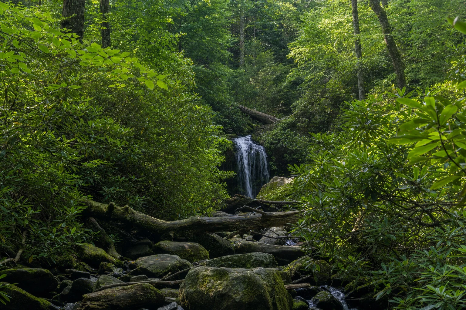
Unnamed cascades and stream views (mile 0.5-4.5). Between the named stops, the Roaring Fork stream is a nearly constant presence. Multiple small pullouts let visitors safely step out to admire the water: short cascades over lichen-covered boulders, tranquil pools, and — after rain — serious volume moving fast. None of these unnamed spots are highlighted by signage, so stop when something looks right. These impromptu stream views are a big part of what makes Roaring Fork feel different from the higher-profile drives in the park.
Ephraim Bales Place (mile 2.0). Another preserved late-19th-century farmstead. Bales was a farmer and blacksmith, and the surviving cabin, barn, and surrounding open fields illustrate the realities of subsistence farming on steep, rocky ground. The park service mows these fields periodically to maintain the historic landscape — left alone, the forest would reclaim them within a decade. The cabin is more modestly built than the Ogle Place, which is precisely why it matters: it shows the variation within a single-generation community, the difference between a family that did slightly better and one that didn't.
The Place of a Thousand Drips (mile 2.5). A signature natural feature. It is not a single waterfall. It is a broad, moss-covered rock face — maybe 40 feet high and 80 feet wide — over which water seeps, trickles, and spreads through countless small channels. After heavy rain the effect is a shimmering curtain of water; in a dry spell it can dwindle to mere dampness glinting on moss. That seasonal variability is part of the appeal. The road passes directly beside it. A small pullout allows a short stop; the rock face is close enough to photograph from the vehicle on a clear day, though a few steps out opens the wider composition.
Grotto Falls and the Trillium Gap Trail (mile 3.0). The most popular trailhead on the loop. The hike is 2.6 miles round trip, rated moderate, climbing roughly 500 feet in elevation through an old-growth hemlock cove that stays cool and shaded even in peak summer heat.
Grotto Falls itself is a 25-foot cascade, and the feature that makes it singular is that the trail passes directly behind the waterfall. You can walk under the cascade from one side to the other — one of the very few walk-behind waterfalls in the Great Smoky Mountains, and unquestionably the most accessible. The sensation of standing behind a curtain of moving water is worth the climb alone.
The parking lot is small and fills fast — by 9 AM on summer and fall weekends it is often full. Arrive early or late. The Park-It-Forward tag applies here, as everywhere. Beyond Grotto Falls, the Trillium Gap Trail continues several more miles and ultimately reaches the summit of Mount LeConte — a completely different commitment, serious multi-hour ascent, for a different kind of day.
Alfred Reagan Place (mile 4.0). The final preserved homestead on the loop. Reagan was a farmer, blacksmith, miller, and general-store keeper. The headline feature is visual — his house is painted a vivid, unmistakable pink (not historically accurate to the period, added much later, and left in place because it has become a recognizable landmark). Another working tub mill sits alongside, similar in design to the Ogle mill, reinforcing how widespread these small operations were across the region. Reagan's relative prosperity shows in the scale and variety of outbuildings — a "modern" mountain farm for its time.
What lives along the loop
Roaring Fork delivers solid wildlife viewing, though not at Cades Cove densities.
- White-tailed deer are common, often in the open fields at the historic homesteads or along the road shoulder. Morning and evening produce the highest odds.
- Wild turkeys are regulars, foraging in underbrush and along forest edges. Toms strutting in spring are a photographer's reward.
- Black bears are present throughout. Sightings on Roaring Fork are not unusual, especially at dawn and dusk in spring and fall. Maintain at least 50 yards, never feed, store all food and scented items properly.
- Songbirds and raptors — the old-growth hemlock corridor attracts a distinct bird community, and the stream corridor itself draws more species during migration.
Seasonal windows and conditions
- Spring (March-May): wildflowers carpet the forest floor — trillium, phlox, wild ginger, bloodroot. The stream runs high and loud. The road has just reopened from winter.
- Summer (June-August): thick green canopy, cool temperatures in the old-growth hemlock sections, comfortable hiking, heaviest parking pressure at Grotto Falls.
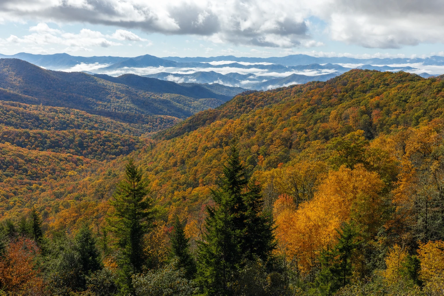
- Fall (late October-early November): peak foliage along the entire loop. This is the busiest time. Weekend traffic can crawl, and Grotto Falls parking fills by 8 AM. Midweek, early morning, late afternoon are the windows that work.
- Winter (December-February): closed. The narrow, winding road does not tolerate ice, and there is no way to maintain it to highway standards.
Park-It-Forward and practical planning
The Park-It-Forward parking tag program has applied since March 2023: any vehicle parked more than 15 minutes anywhere in the park — including every pullout on Roaring Fork and the Grotto Falls trailhead lot — must display a valid tag. Daily $5, weekly $15, annual $40, purchased in advance through recreation.gov or at visitor centers. There are no exceptions on the loop; ranger enforcement is active in peak season.
Cell service on Roaring Fork is unreliable to nonexistent. Download maps offline. Restrooms are essentially unavailable on the loop itself — use the facilities in Gatlinburg or at the Sugarlands Visitor Center before the drive. Pack water and snacks, especially if planning the Grotto Falls hike. And give the drive more time than the 5.5-mile distance suggests — this is not a road to rush.
Photography notes along the loop
Roaring Fork is a photographer's loop as much as a driver's one, and the best images reward patience with weather as much as with timing.
- Noah "Bud" Ogle Place: The tub mill and flume work best with some water volume — shoot after a rainy stretch. Early morning light angles through the hemlocks cleanly; midday flattens the scene.
- Thousand Drips: After heavy rain, open the aperture and drop to a slow shutter to thread the countless streams together into a soft curtain. A neutral density filter helps in daylight.
- Grotto Falls: The walk-behind position opens a genuinely rare composition — the falls in the foreground, the forest framed through the water curtain behind. A tripod is functionally required for the low-light environment behind the cascade.
- Alfred Reagan Place: The distinctive pink house works as a color subject against the surrounding green canopy. Overcast days render the pink more accurately than bright sun.
- Fall foliage (mid to late October): every pullout on the loop delivers color during peak. The entire forest leans into the road, so frame-fillingly close that a wide-angle lens captures more than most visitors realize.
- Stream long exposures: the unnamed cascades along the loop accept 1- to 2-second shutter speeds cleanly, smoothing the water into ribbon-like forms against the dark rocks.
Roaring Fork is short, dense, and deliberate — a loop designed by the park service to reward slow travel through an almost unchanged slice of mountain country. Treat the 5.5 miles like 55, and it pays back the time.