
Asheville sits about 85 miles from Gatlinburg, with the Great Smoky Mountains National Park roughly 1 hour and 30 minutes away on a clear day with light traffic. That's close enough for a day trip but also leaves room for a proper weekend without feeling rushed.
The drive from Asheville
Two routes connect Asheville to the Smokies, and the right one depends on where you're headed.
I-40 West is faster. Head west out of Asheville, cross into Tennessee, then exit toward Gatlinburg or Sevierville. It's highway the whole way, and on a normal weekday you'll arrive in about 90 minutes.
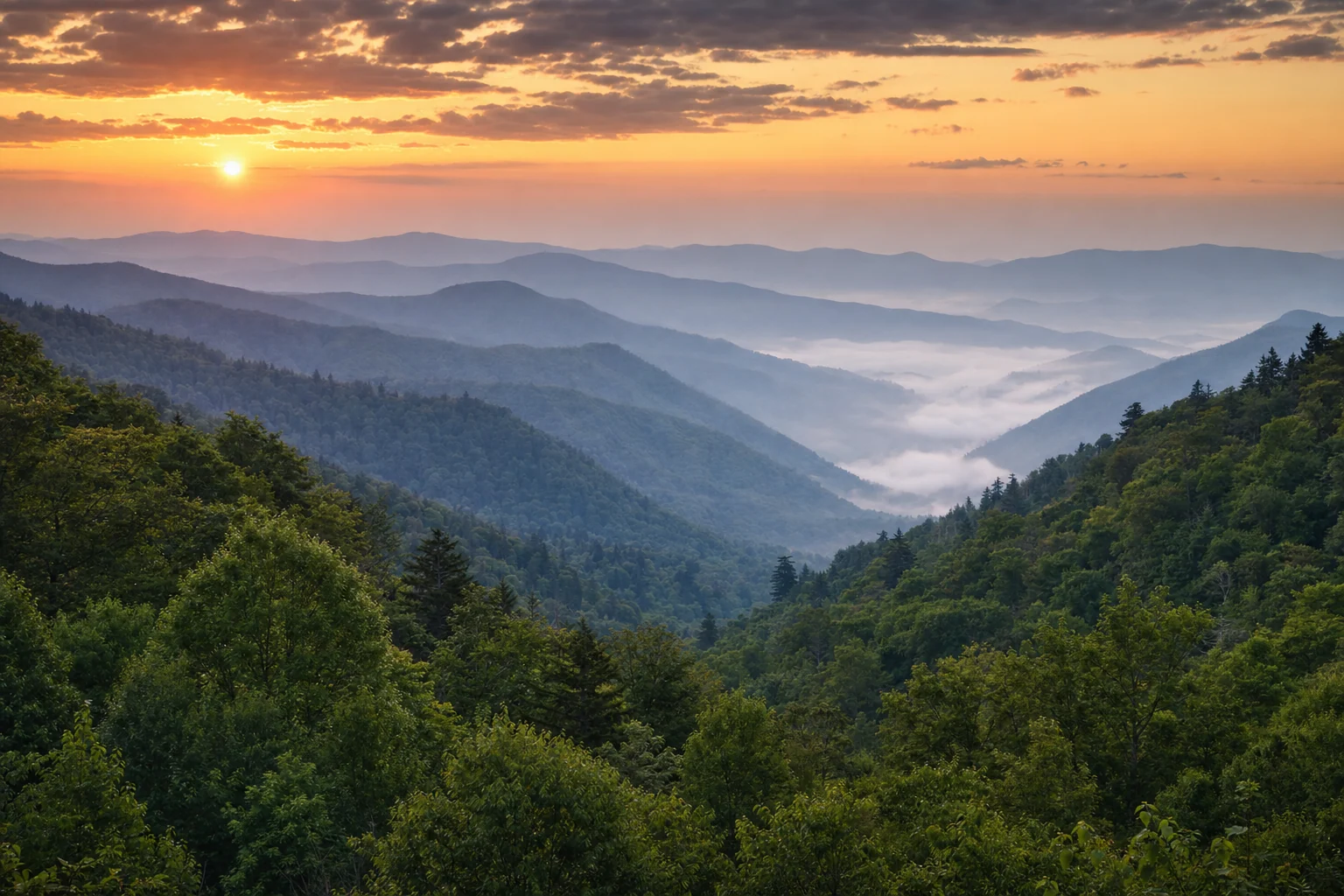
US-441 over Newfound Gap adds scenery at the cost of time. Drive southwest through Cherokee on the Qualla Boundary, then climb through the park to Newfound Gap at 5,046 feet before descending into Gatlinburg. Budget an extra 30 to 45 minutes and check road conditions between November and March; Newfound Gap Road closes periodically for ice.
Avoid leaving Asheville on a Friday afternoon in summer or fall; traffic stacks from Sevierville through Pigeon Forge and can add a full hour. Departing before 8am sidesteps most of it.
How long to plan for
A day trip works. Leave Asheville by 7am and you can hike Laurel Falls, walk through Gatlinburg, and be back by evening without rushing.
A full weekend is better if you want to see more than one corner of the park. The Smokies cover 800 square miles. Spending two nights lets you do Cades Cove's 11-mile loop road on Saturday morning and reach Cataloochee Valley for elk at dusk on Sunday; those two areas are too far apart for a single day.
A week makes sense for anyone wanting to cover Cherokee, Bryson City, and the Tennessee gateway towns at a reasonable pace.
What to do when you arrive
The park has no entrance fee, but parking at any trailhead or pullout for 15 minutes or more requires a Park-It-Forward tag: $5 for a day, $15 for a week, or $40 for a year. Buy it on the NPS app before leaving your car.
Inside the park, Alum Cave Trail (4.4 miles round trip) climbs to exposed cliff views. Abrams Falls in Cades Cove is a 5-mile loop to a 20-foot waterfall with a pool at the base. Kuwohi (Clingmans Dome) at 6,643 feet is the park's highest point, reached by a half-mile paved path. The parking lot fills before 9am on summer weekends.
In Gatlinburg: Anakeesta has a ridge-top tree canopy walk; Ripley's Aquarium of the Smokies runs a 340-foot underwater tunnel; the SkyLift Park crosses a suspension bridge 500 feet above a gorge. Pigeon Forge is home to Dollywood, which runs seasonal festivals through December. Townsend, on the quieter western side, offers direct access to Cades Cove with far less traffic than Gatlinburg.
Cherokee has the Museum of the Cherokee People and a herd of elk that often grazes near Oconaluftee. Bryson City has white-water rafting on Deep Creek and the Great Smoky Mountains Railroad.
Where to stay
Gatlinburg is the most central option; Pigeon Forge has more inventory, especially for large cabins, at lower prices. Townsend suits anyone wanting early access to Cades Cove. Bryson City works well if you're focusing on the North Carolina entrances. Compare live cabin and hotel availability on the map below.
Best time to make the trip
Summer is the busiest season. Trailhead parking lots fill before 9am, and Gatlinburg's Parkway stays congested most afternoons from Memorial Day weekend through Labor Day; plan to be off major roads by early afternoon.
Fall foliage at higher elevations begins in late September; lower elevations stay colorful into early November. October is the most popular month of the year. Arrive before 8am for Cades Cove or Newfound Gap on a fall weekend or expect a long wait.
Spring (April and May) brings wildflower blooms; more than 1,500 plant species grow in the park, and crowds are lighter than summer with full trail access. Winter is quiet outside the Christmas and New Year's weeks. Some high-elevation roads close, including the road to Kuwohi, but lower areas and most trailheads stay open.