
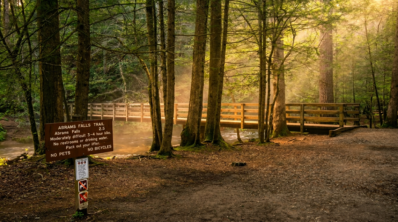
About Abrams Falls Trail
Abrams Falls is only 20 feet tall, and that single fact undersells the place almost completely. Abrams Creek drains one of the larger western sections of the park, so what arrives at that 20-foot drop is a heavy, sustained column of water that hits the plunge pool with genuine force. The sound carries before you can see it; the mist reaches you a few seconds later. Getting there is a 5-mile out-and-back through Cades Cove's old-growth forest with 675 feet of elevation gain: moderate, rocky, and popular enough that timing your visit matters.
What the trail is like
The trailhead sits off Cades Cove Loop Road near Stop #10, which means you'll already have driven through the valley before you reach the start. The route drops briefly toward Abrams Creek and then traces the creek upstream for most of the 2.5 miles to the falls. Terrain is a mix of worn dirt path and exposed rock, with several short climbs and descents as the trail navigates the hillside above the water. No dramatic switchbacks, no sustained steep pitch; the elevation gain spreads across the full distance.
Old-growth cove hardwoods line much of the route, and their canopy keeps things noticeably cooler than the open meadows behind you. In spring, wildflowers appear along the lower sections and the creek runs full. By midsummer the forest floor dries out and the shade becomes its own reason to be here. The final approach to the falls loses elevation steeply before opening onto the plunge pool.
Expect roots, loose rock, and uneven footing throughout. Trail shoes that grip wet rock are a better choice than casual sneakers, and trekking poles help on the return climb.
The falls and the pool
The 20-foot drop produces a falls that's wider than it is tall, and the plunge pool beneath it is large, deep-looking, and visually inviting. Neither of those things should be read as an invitation to swim. The NPS explicitly discourages swimming here due to strong currents and submerged hazards; people have drowned in this pool. The volume of water entering from above creates hydraulic conditions that are genuinely dangerous, not merely cautionary. Stay on shore.
For photography, the best light arrives mid-morning to early afternoon. Getting close for a wide composition means standing on wet, slick rock at the pool's edge, so the footwear recommendation above applies doubly here. The spray zone extends further than you'd expect in spring.
Cades Cove
The trailhead sits inside Cades Cove, one of the park's most visited areas: a wide, open valley ringed by mountains, with 19th-century farmsteads and historic structures still standing in the meadows. The Cades Cove Loop Road is a one-way circuit, and the NPS periodically closes it to vehicles on certain mornings for hikers and cyclists; check current conditions at nps.gov/grsm before you go.
Most visitors combine the Abrams Falls hike with a drive of the full loop. Go to the trailhead first, before the crowds build. The parking area at Stop #10 is small and fills completely by 9 or 10 a.m. on warm weekends, with no overflow parking nearby. There's no backtracking on a one-way road if you miss the lot; you'll need to drive the circuit again.
When to go
Spring is when the falls are at their most powerful. Abrams Creek runs high from March through May, the falls roar rather than flow, and wildflowers appear along the lower trail from mid-March onward. The trade-off is wet, slick rock on the final approach to the pool.
Summer brings the heaviest crowds, concentrated on weekends and holidays. The forest cover helps with heat, but the trailhead fills fast. A 7 a.m. start reliably secures a parking spot; by 10 a.m. on a July Saturday, both the lot and the roadside are full.
Fall's draw is color, and the cove hardwoods turn well around mid-October. The air is cool enough to make the hike feel easy, the light in the valley reads well in photographs, and the crowds thin compared to summer without disappearing.
Winter is genuinely quiet on this trail. Bare trees open the canopy, the creek still flows, and Cades Cove has a different character entirely: frost on the ground, sharp sightlines across the meadows, and the falls still audible from well up the trail. Ice can form on shaded sections closer to the falls during cold snaps; microspikes are worth carrying. The loop road stays open year-round barring snow closures.
Getting there
The trailhead is roughly an hour's drive from downtown Gatlinburg. Head west on US-321 / TN-73 to Townsend, then enter the park at the Townsend entrance and follow signs to Cades Cove. The trailhead parking area is at Stop #10 on the loop road (35.6025° N, 83.8406° W). Because the road is one-way, passing the lot means completing the full loop before you can try again.
A Park It Forward parking tag is required for any stay over 15 minutes inside Great Smoky Mountains National Park. Tags cost $5 per day, $15 per week, or $40 annually; purchase in advance at recreation.gov or from kiosks at park entrances. This applies to the Abrams Falls trailhead lot.
Cell coverage inside Cades Cove is limited and unreliable. Download offline maps before leaving town.
Before you go
Carry more water than the moderate rating implies. Five miles of rocky terrain in warm weather depletes reserves faster than distance alone suggests, and there are no water sources to treat on this trail. Pack a rain layer even in summer; weather in the Smokies shifts on short notice and the walk back from the falls is fully exposed to any storm that builds over the ridgeline.
Black bears are common throughout Cades Cove and active near water. Keep at least 50 yards of distance, make noise on the trail, and never leave food unattended at the trailhead or on the route. Bear sightings on the loop road are frequent enough that vehicle traffic jams happen regularly; the same animals work the creek corridor on the trail.
If you're staying overnight rather than day-tripping, Abrams Creek Campground sits on the western edge of the park off US-129, close to the Cades Cove area. It's a small, tent-only facility with 16 sites, flush toilets, cold running water, and no hookups or showers; it operates from early April through late October. Rates were around $25 per night as of 2024 — verify current pricing at recreation.gov before booking. Reservations are required.
Frequently asked questions
- How long is Abrams Falls Trail?
- Abrams Falls Trail is 5 miles one-way (10.0 miles round-trip), with 675 feet of elevation gain. It is rated moderate.
- Do I need a parking tag?
- Yes — a Park It Forward parking tag is required for vehicles parked more than 15 minutes anywhere inside Great Smoky Mountains National Park. Daily ($5), weekly ($15), or annual ($40) tags are available via recreation.gov or park kiosks.