
About Big Creek Trail
Big Creek sits on the park's far eastern edge, just off I-40 at Exit 451 on the North Carolina side, making it the most highway-adjacent trailhead in Great Smoky Mountains National Park. The drive from Gatlinburg takes about an hour, which filters out casual day-tripper traffic and keeps the area significantly quieter than the Sugarlands entrances.
The Trail
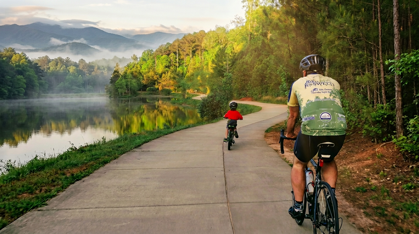
The route runs 5.5 miles one-way from Big Creek Campground, following an old logging railroad grade along the creek for most of its length. The 600 feet of elevation gain across that distance is gradual — you won't feel it accumulating until you stop to look back at how far you've come. The surface is wide and consistent, and the railroad bed keeps the grade steady rather than technical, so the "moderate" rating reflects distance more than demanding terrain. Most day hikers turn around at Midnight Hole (about 1.5 miles in) or Mouse Branch Falls (roughly 2 miles), getting a 3-to-4-mile round trip that fits comfortably into a morning.
Families with kids old enough to handle a few miles do well here. The trail parallels the creek closely enough that access points come regularly, and the sound of moving water holds attention when the walking itself doesn't.
Midnight Hole
At 1.5 miles, the trail reaches Midnight Hole: a swimming hole fed by a small waterfall, with a pool deep enough that the bottom is invisible from the surface. The water is cold regardless of air temperature — cold in the way that makes your lungs contract on entry — because the creek drains from elevation and the canopy keeps the pool in shade through most of the day. GPS: 35.7533° N, 83.1764° W.
There are no lifeguards anywhere in the park, and Midnight Hole has submerged rocks and currents you can't fully assess from shore. People swim here regularly, and people also get into trouble here regularly. Go in if you're a confident swimmer who can read moving water; wade if you're not sure; and skip the jump from the rocks, which is prohibited and genuinely risky even when it looks straightforward.
The hole draws a crowd on summer weekends, but "crowd" at Big Creek means a dozen people rather than a hundred. Even at peak times, it doesn't feel like an event.
Mouse Branch Falls
Half a mile past Midnight Hole, Mouse Branch Falls drops 45 feet into the creek, fanning out from a narrow top to a wider curtain at the base. Spring and early summer give you the full effect; by late August, lower flow condenses the falls into a narrower sheet that's still worth the walk but less dramatic. This is where most day hikers stop and turn around — the falls are a clear endpoint, the return is easy on the same grade, and the total distance puts you back at the trailhead well before afternoon.
Going Deeper
The trail continues past Mouse Branch Falls to Walnut Bottom, a backcountry camping area, and from there connects into the park's larger network, including a route that eventually reaches the Appalachian Trail and the Mount Cammerer fire tower. Completing the full 11-mile out-and-back requires five to seven hours at a moderate pace, more if you spend time at the swimming holes. Backcountry camping at Walnut Bottom needs a permit, booked through the park's reservation system before your trip.
The Forest
The Big Creek watershed largely escaped the large-scale logging operations that swept through much of the Smokies in the early 1900s, and the old-growth character is visible if you're paying attention. Tulip poplars with trunks wider than arm-span are common in the lower stretch; the hemlocks, where they survive, give sections of the trail a quality that younger forests elsewhere in the park don't match. None of this is labeled or interpreted on signage. It's just there, in the scale of the canopy and the diameter of the deadfall.
Getting There and Logistics
Access: From I-40, take Exit 451 (Waterville Road) in North Carolina, roughly an hour from Gatlinburg. The road leads directly to Big Creek Campground at 35.7607° N, 83.1028° W. The route avoids Gatlinburg entirely, which matters on summer weekends when US-321 backs up.
Parking: A Park It Forward tag is required for any vehicle parked inside GSMNP for more than 15 minutes. Tags cost $5/day, $15/week, or $40/year and can be purchased at kiosks inside the park or through recreation.gov before you leave home.
When to go: Spring brings the highest water and the most dramatic falls, along with wildflowers in the understory. Summer is the most popular season; arrive before 9 a.m. on weekends if you want the trail to yourself at the outset. Fall color peaks around mid-October, and the lower elevation means Big Creek often holds color a few days after higher trails have gone bare. In winter, the trail stays accessible but the campground closes, the falls occasionally ice over in sustained cold, and you may have the entire area to yourself.
The campground: Big Creek Campground is tent-only, small, and primitive, typically open from early April through late October. It sits directly next to the creek. Reservations go through recreation.gov and fill on summer weekends. For a multi-day trip built around the trail, this is one of the calmer front-country options in the park.
Bears: Black bears range throughout this part of the park. Keep 50 yards of distance, don't approach, and secure all food before leaving your vehicle. Big Creek's lower visitor volume doesn't mean lower bear activity.
Frequently asked questions
- How long is Big Creek Trail?
- Big Creek Trail is 5.5 miles one-way (11.0 miles round-trip), with 600 feet of elevation gain. It is rated moderate.
- Do I need a parking tag?
- Yes — a Park It Forward parking tag is required for vehicles parked more than 15 minutes anywhere inside Great Smoky Mountains National Park. Daily ($5), weekly ($15), or annual ($40) tags are available via recreation.gov or park kiosks.