
Waterfall guide
Tallest Waterfalls in the Smokies
15 curated picks · verified 2026-05-28
The 15 waterfalls on this list range from 411 feet to 65 feet, span four public land units, and require anywhere from a flat 150-yard walk to a 4-mile round-trip through old-growth forest. That spread isn't accidental — the Smokies and their surrounding ranges form one of the densest concentrations of significant waterfalls in the eastern United States, fed by some of the highest annual rainfall totals on the continent.
Height alone doesn't determine what you're actually getting at a given fall. Cullasaja Falls drops 200 feet in a long churning cascade visible from US-64, but there's no maintained trail to the base and roadside parking on that stretch is genuinely dangerous. Whitewater Falls, at 411 feet the tallest on this list, is a 0.25-mile walk from a paved lot. The ranking here is by verified height; each entry covers trail conditions, difficulty, and what to expect on arrival.
A few practical considerations apply across most of these locations:
- Park-It-Forward ($5 per vehicle per day): Required at most parking areas inside Great Smoky Mountains National Park. Purchase at recreation.gov or at self-service kiosks before leaving your vehicle. It covers the parking fee but doesn't reserve a spot; timed-entry permits are separate and apply seasonally to high-traffic corridors.
- Seasonal flow: Volume peaks March through May, when snowmelt and spring rainfall combine. By midsummer, smaller falls often run at a fraction of their spring output. Ramsey Cascades and the GSMNP Rainbow Falls hold their flow into summer better than most, owing to large upper watersheds.
- Footing: Spray zones stay slick year-round regardless of season. Rocks at the base of high-volume falls are not safe to stand on even when the flow looks manageable.
Falls inside DuPont State Recreational Forest and Gorges State Park don't require Park-It-Forward, but those trailhead lots can fill by 9 a.m. on summer and fall weekends. The Ramsey Cascades approach is the most demanding on this list by a significant margin: 4 miles round-trip over rocky, rooted terrain with sustained elevation gain throughout.
- 1
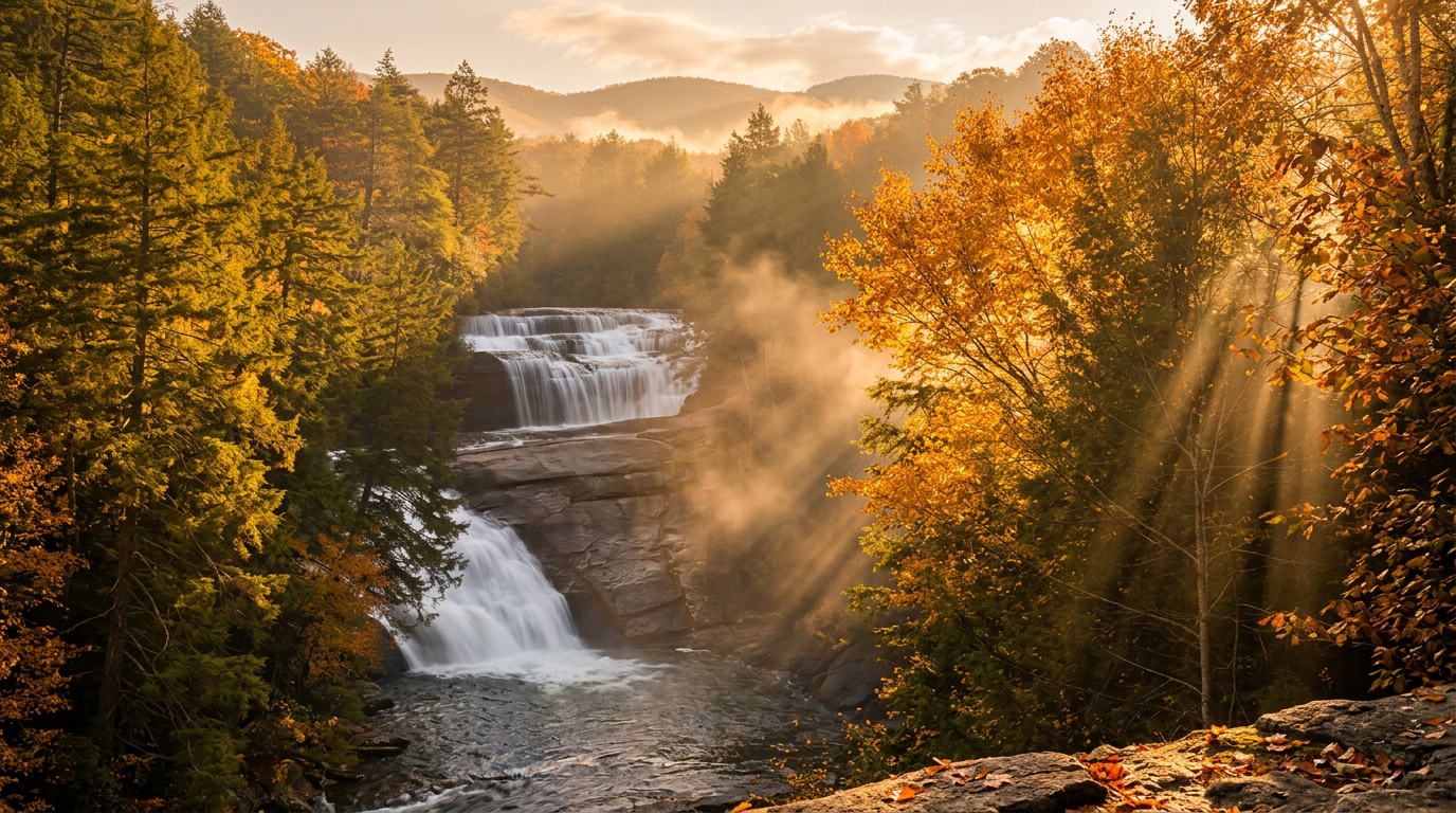
Whitewater Falls (Upper & Lower)
411 ft · 0.25 mi hike
411-foot waterfall in Great Smoky Mountains National Park. Reached via a 0.25-mile easy hike.
- 2
Cullasaja Falls
200 ft
Cullasaja Falls — on Cullasaja River, Roadside view (no safe trail to base) trail, Easy (roadside view, but hazardous parking), about 200 feet (long, powerful cascade).
- 3
Toxaway Falls
200 ft
200-foot waterfall in Great Smoky Mountains National Park.
- 4
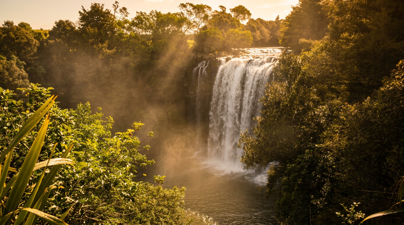
Rainbow Falls (Gorges State Park, NC)
150 ft · 1.5 mi hike
Rainbow Falls (Gorges State Park, NC) — on Horsepasture River, 1.5 miles trail, Strenuous (steep descent), about 150 feet.
- 5
High Falls (DuPont State Forest)
125 ft · 1.2 mi hike
125-foot waterfall in Great Smoky Mountains National Park. Reached via a 1.2-mile easy hike.
- 6
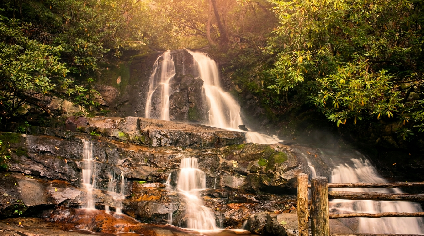
Mingo Falls
120 ft · 0.15 mi hike
120-foot waterfall in Great Smoky Mountains National Park. Reached via a 0.15-mile easy hike.
- 7
Triple Falls (DuPont State Forest)
120 ft · 0.5 mi hike
Triple Falls (DuPont State Forest) — on Little River, 0.5 miles trail, Easy to Moderate, about 120 feet (three distinct drops).
-
 8
8 Ramsey Cascades
100 ft · 4 mi hike
100-foot waterfall in Great Smoky Mountains National Park. Reached via a 4-mile strenuous hike.
- 9
Bald River Falls
90 ft
90-foot waterfall in Great Smoky Mountains National Park.
- 10
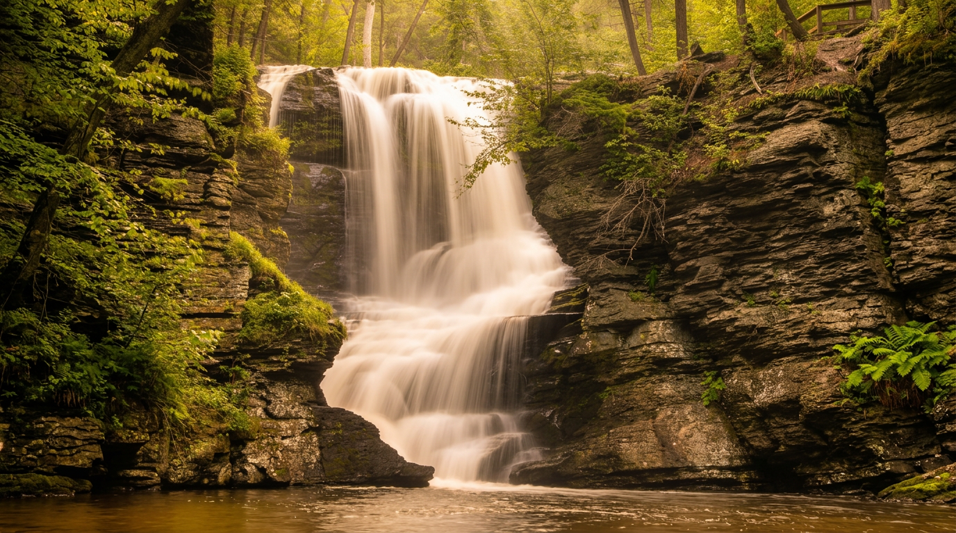
Hen Wallow Falls
90 ft · 2.1 mi hike
Hen Wallow Falls — on Gabes Creek, 2.1 miles trail, Moderate, about 90 feet (plunges over a rock ledge, widening at the base).
- 11
Juney Whank Falls
90 ft · 0.6 mi hike
Juney Whank Falls — on Juney Whank Branch, 0.6 miles (loop from trailhead) trail, Moderate (steep climb), about 90 feet (upper and lower sections).
-
 12
12 Laurel Falls
80 ft · 1.3 mi hike
Laurel Falls — on Laurel Branch, 1.3 miles trail, Easy (paved, but steep in sections), about 80 feet (upper and lower sections).
-
 13
13 Rainbow Falls
80 ft · 2.7 mi hike
80-foot waterfall in Great Smoky Mountains National Park. Reached via a 2.7-mile moderate hike.
- 14
Dry Falls
75 ft · 0.25 mi hike
75-foot waterfall in Great Smoky Mountains National Park. Reached via a 0.25-mile easy hike.
- 15
Benton Falls
65 ft · 1.5 mi hike
65-foot waterfall in Great Smoky Mountains National Park. Reached via a 1.5-mile moderate hike.
Good to know
Tallest Waterfalls in the Smokies: FAQ
When is the best time of year to visit for peak waterfall flow?
Are there two different waterfalls called Rainbow Falls on this list?
Which waterfalls here are realistic for visitors with limited mobility or young children?
Is swimming allowed at the base of these waterfalls?
Do I need a separate reservation to hike to falls inside Great Smoky Mountains National Park?
Where to stay
Near Smokies waterfalls
Pick your spots, then lock in where you'll sleep. Compare live cabin, hotel, and rental prices nearby across Booking.com, Vrbo, and Expedia.
Map powered by Stay22. Prices and availability update live.
Keep exploring