
Trail guide
Best Easy Hikes in the Smokies
13 curated picks · verified 2026-05-28
Easy hikes in the Smokies have a credibility problem. The label gets applied to anything under 4 miles, so a first-time hiker can end up halfway up a ridge on a trail that was "easy" by someone else's standards. The 13 trails on this list are genuinely approachable: short distances, modest elevation gain, and surfaces that don't require hiking poles or technical footwear.
A few practical things to know before you go:
- Park-It-Forward tag required for most trailheads inside GSMNP. Tags cost $5/day and must be displayed on your dashboard; purchase at recreation.gov before arriving. During peak season, some high-demand trailheads also require a separate timed entry reservation — check the park's website when planning Laurel Falls or Deep Creek visits.
- Two trails here allow dogs and bikes: the Oconaluftee River Trail and the Gatlinburg Trail. This is a notable exception; GSMNP prohibits both on all other hiking trails, including the fully paved Sugarlands Valley Nature Trail.
- Not all 13 are inside the national park. Mingo Falls sits on Eastern Band of Cherokee Indian (EBCI) lands within the Qualla Boundary; Chimney Rock is a North Carolina state park with its own admission fee; Joyce Kilmer Memorial Forest and Wayah Bald are both in the Nantahala National Forest, with free parking and no reservation system.
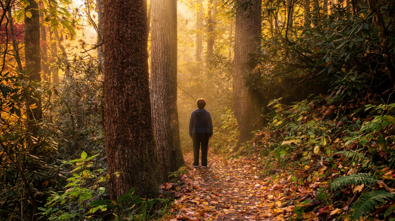
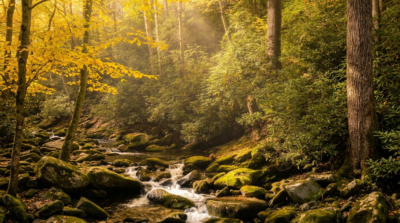
Summer weekends at trailheads like Laurel Falls and Deep Creek bring substantial crowds. Arriving before 9am or after 4pm consistently improves the experience. Spring wildflowers peak roughly mid-March through early May at lower elevations, with the Cove Hardwood Nature Trail a particular standout. Fall color at the elevation range covered here, mostly below 4,000 feet, typically peaks in the last two weeks of October.
The list runs shortest to longest, which is useful when working around a specific time window or hiking with young children. Distance alone doesn't tell the whole story: Mingo Falls packs a 120-foot waterfall into half a mile, while the Deep Creek Loop links three separate falls across 2.4 miles of gentle bottomland. Each listing notes the feature that makes the trip worth it.
- 1
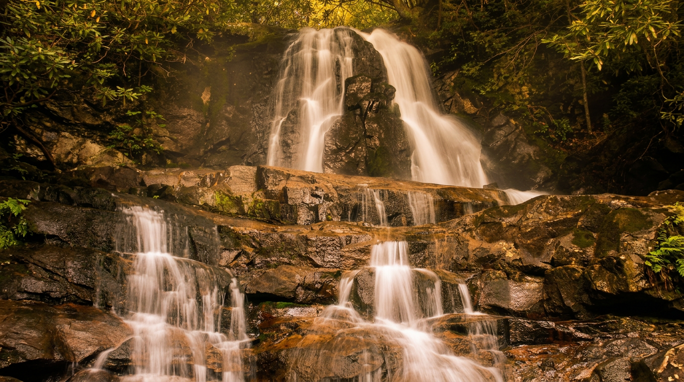
Mingo Falls Trail (Qualla Boundary / EBCI Lands)
0.5 mi · easy · 150 ft gain
0.5-mile out-and-back, easy, 150 ft gain hiking trail in Great Smoky Mountains National Park.
- 2
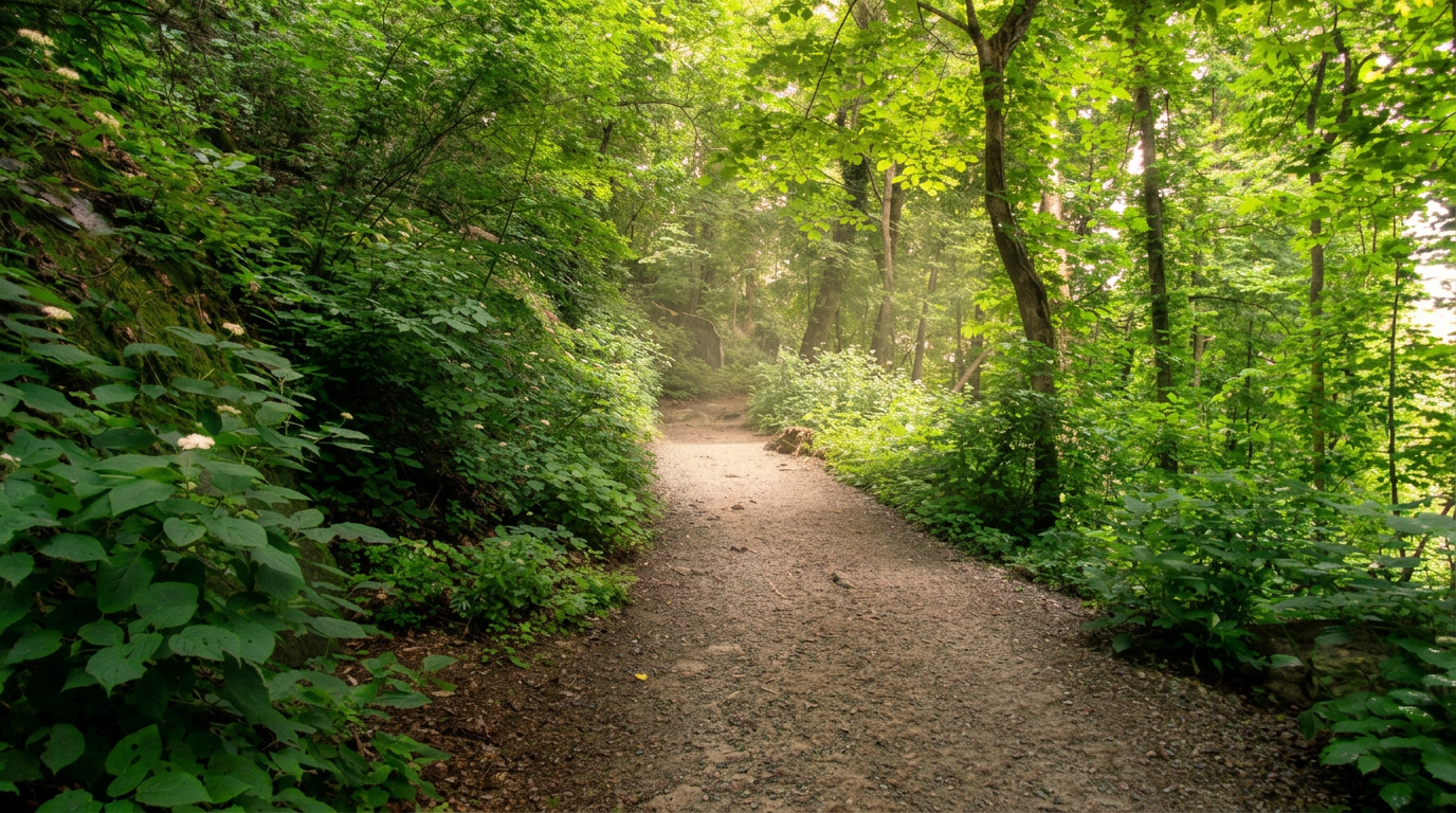
Sugarlands Valley Nature Trail
0.5 mi · easy
Located just outside Gatlinburg, adjacent to the Sugarlands Visitor Center, this 0.5-mile (0.8 km) paved loop trail is a prime example of park accessibility.
- 3
Wayah Bald Tower Trail
0.5 mi · easy
0.5-mile out-and-back, easy hiking trail in Great Smoky Mountains National Park. Highlights: Historic stone fire tower, 360-degree views (including GSMNP on clear days).
- 4
Cove Hardwood Nature Trail
0.75 mi · easy
A short, accessible loop famous for its diverse wildflower displays.
- 5
Foothills Parkway Trails (various sections, e.g., Look Rock)
1 mi · easy · 100 ft gain
1-mile out-and-back, easy, 100 ft gain hiking trail in Great Smoky Mountains National Park.
- 6
Chimney Rock State Park Trails
1.4 mi · easy
1.4-mile out-and-back, easy hiking trail in Great Smoky Mountains National Park. Highlights: Chimney Rock, Hickory Nut Falls (404-foot waterfall).
-
 7
7 Ocoee Whitewater Center Trails
1.5 mi · easy
Ocoee Whitewater Center Trails — Various loops (e.g., Bear Paw Loop 1.5 miles, Chestnut Mountain Loop 2.5 miles) trail, Easy to Moderate.
-
 8
8 Indian Creek Trail (Deep Creek)
1.6 mi · easy
1.6-mile out-and-back, easy hiking trail in Great Smoky Mountains National Park. Highlights: Indian Creek Falls, old homesites.
-
 9
9 Joyce Kilmer Memorial Forest Trails
2.2 mi · easy
2.2-mile loop, easy hiking trail in Great Smoky Mountains National Park. Highlights: Old-growth forest with massive poplars and hemlocks, designated wilderness area.
- 10
Deep Creek Loop (Three Waterfalls Trail)
2.4 mi · easy · 200 ft gain
Deep Creek Loop (Three Waterfalls Trail) — 2.4 miles (loop combining Deep Creek, Indian Creek, and Juney Whank Trails) trail, Easy to Moderate.
-
 11
11 Laurel Falls Trail
2.6 mi · easy · 300 ft gain
2.6-mile out-and-back, easy, 300 ft gain hiking trail in Great Smoky Mountains National Park.
-
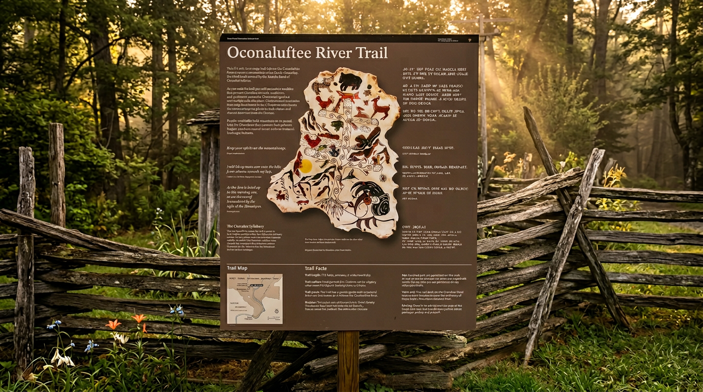 12
12 Oconaluftee River Trail
3 mi · easy
Situated on the North Carolina side of the park, near Cherokee, this 1.5-mile (2.4 km) one-way trail also allows dogs and bicycles.
-
 13
13 Gatlinburg Trail
3.8 mi · easy
This 1.9-mile (3.1 km) one-way trail connects the town of Gatlinburg directly to the Sugarlands Visitor Center.
Good to know
Best Easy Hikes in the Smokies: FAQ
Do I need a parking pass or reservation to hike these trails?
Which of these trails allow dogs?
When is the best time of year to hike easy trails in the Smokies?
Are any of these trails paved or suitable for strollers and wheelchairs?
The trails are labeled "easy" — but how steep are they really?
Where to stay
Near the Smokies trailheads
Pick your spots, then lock in where you'll sleep. Compare live cabin, hotel, and rental prices nearby across Booking.com, Vrbo, and Expedia.
Map powered by Stay22. Prices and availability update live.
Keep exploring