
Trail guide
Best Moderate Hikes in the Smokies
15 curated picks · verified 2026-05-28
The range on this list is worth knowing before you pick a trail. Juney Whank Falls is 0.6 miles round-trip; the John Muir Trail along the Hiwassee runs 10.5. Both earn the "moderate" label, which tells you something about how the Park Service and most trail databases apply the rating: elevation gain per mile matters more than total distance. A short trail with relentless switchbacks rates harder than a long flat one, so use the gain figures alongside the mileage when deciding what fits your group.
Twelve of the fifteen trails run inside Great Smoky Mountains National Park. Those trailheads require a Park-It-Forward tag on your dashboard, purchased online before arrival or at self-service kiosks near the park. It isn't an entrance fee (GSMNP has no entrance fee), just a parking tag, but rangers do check. Bald River Falls, House Mountain State Natural Area, and the John Muir Trail along the Hiwassee fall under different managing agencies and don't use the GSMNP tag system.
Seasonal timing affects almost every pick on this list. Abrams Falls and Grotto Falls draw the largest crowds from late May through Labor Day; arriving before 9 a.m. gives you a reasonable shot at trailhead parking without circling. Fall color peaks roughly mid-October at lower elevations, making Andrews Bald and Alum Cave the strongest fall choices here. Winter is quiet on most of these trails, though Mouse Creek and Caldwell Fork can ice over, and the Clingmans Dome Road closes from December through March — taking the Forney Ridge trailhead with it.
A few practical notes before you go:
- Huskey Gap is a point-to-point trail; plan for a two-car shuttle or expect to retrace your steps for 4.2 miles round-trip.
- Alum Cave Trail to the bluffs is moderate; continuing to the summit of LeConte adds 5 miles and reclassifies as strenuous.
- Several trails here cross creeks without bridges, and water levels vary significantly after rain.
- Black bears are active throughout the park — carry bear spray and store food in your car, not at the trailhead.
- 1
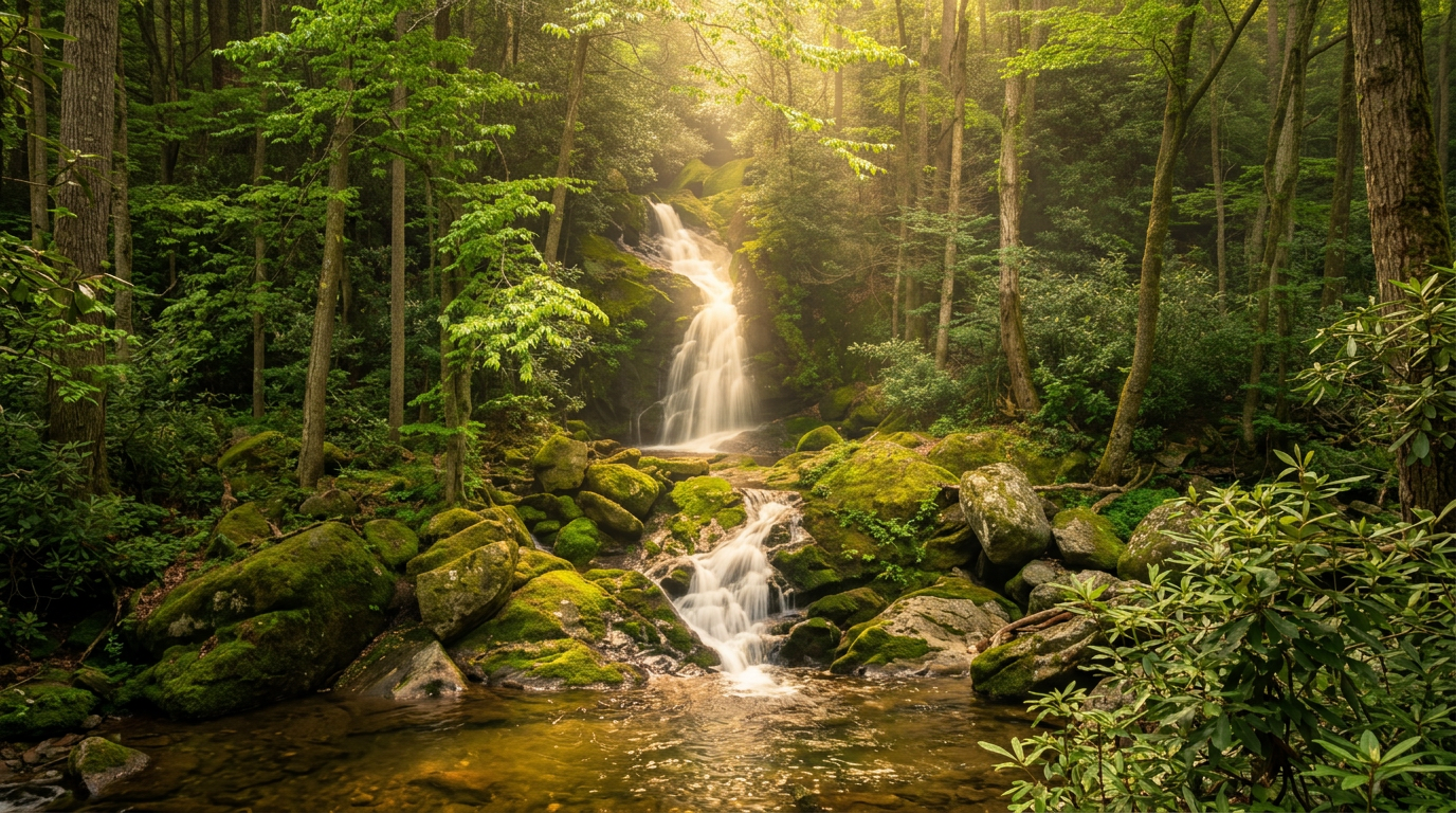
Juney Whank Falls Trail (Deep Creek)
0.6 mi · moderate · 200 ft gain
0.6-mile loop, moderate, 200 ft gain hiking trail in Great Smoky Mountains National Park.
- 2
Andrews Bald Trail (via Forney Ridge Trail)
1.8 mi · moderate · 300 ft gain
1.8-mile out-and-back, moderate, 300 ft gain hiking trail in Great Smoky Mountains National Park.
- 3
Mouse Creek Falls Trail (Big Creek)
4 mi · moderate · 400 ft gain
4-mile out-and-back, moderate, 400 ft gain hiking trail in Great Smoky Mountains National Park.
-
 4
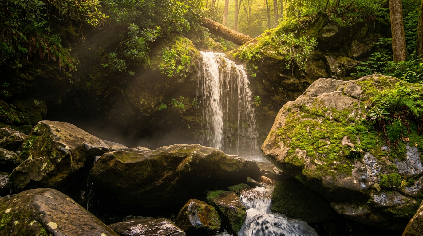
4 Grotto Falls Trail (Trillium Gap Trail)
2.6 mi · moderate · 500 ft gain
2.6-mile out-and-back, moderate, 500 ft gain hiking trail in Great Smoky Mountains National Park.
-
 5
5 Big Creek Trail
5.5 mi · moderate · 600 ft gain
Big Creek Trail — 5.5 miles to Mouse Branch Falls (out-and-back), 10.6 miles to Big Creek Trailhead (out-and-back to Walnut Bottom) trail, Moderate.
-
 6
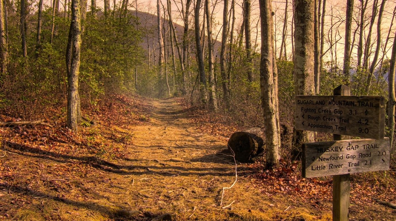
6 Huskey Gap Trail
2.1 mi · moderate · 600 ft gain
2.1-mile point-to-point, moderate, 600 ft gain hiking trail in Great Smoky Mountains National Park.
-
 7
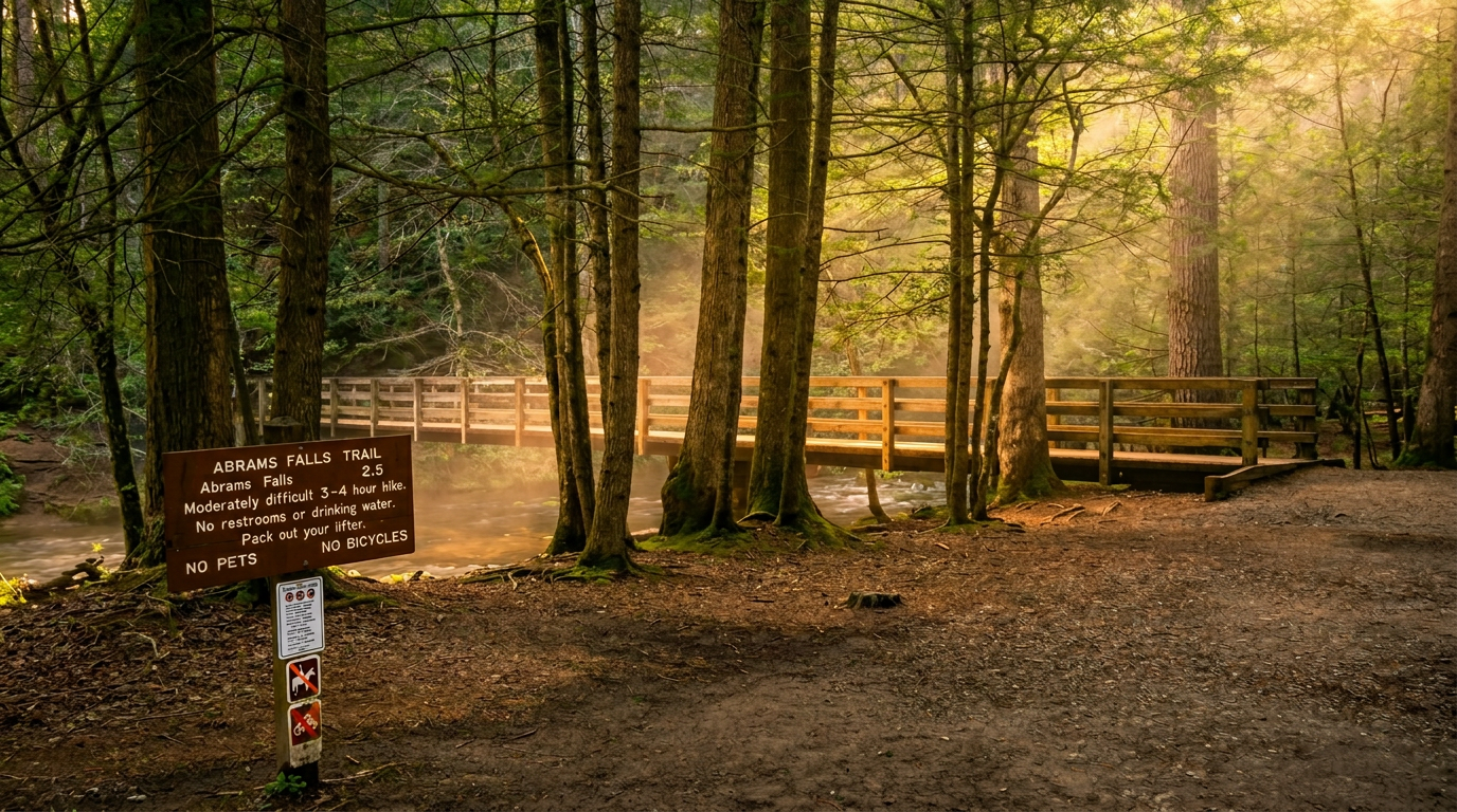
7 Abrams Falls Trail
5 mi · moderate · 675 ft gain
5-mile out-and-back, moderate, 675 ft gain hiking trail in Great Smoky Mountains National Park.
- 8
Bald River Falls Trail
5.6 mi · moderate · 800 ft gain
5.6-mile out-and-back, moderate, 800 ft gain hiking trail in Great Smoky Mountains National Park.
- 9
Hen Wallow Falls Trail (Cosby)
4.4 mi · moderate · 900 ft gain
4.4-mile out-and-back, moderate, 900 ft gain hiking trail in Great Smoky Mountains National Park.
- 10
Caldwell Fork Trail (Cataloochee Valley)
5.7 mi · moderate · 1,000 ft gain
5.7-mile loop, moderate, 1,000 ft gain hiking trail in Great Smoky Mountains National Park.
-
 11
11 House Mountain State Natural Area
6 mi · moderate · 1,000 ft gain
6-mile loop, moderate, 1,000 ft gain hiking trail in Great Smoky Mountains National Park.
- 12
John Muir Trail (Hiwassee River)
10.5 mi · moderate · 1,000 ft gain
10.5-mile point-to-point, moderate, 1,000 ft gain hiking trail in Great Smoky Mountains National Park.
- 13
Porters Creek Trail (Greenbrier)
4 mi · moderate · 1,000 ft gain
4-mile out-and-back, moderate, 1,000 ft gain hiking trail in Great Smoky Mountains National Park.
- 14
Twentymile Loop Trail
5.7 mi · moderate · 1,000 ft gain
5.7-mile loop, moderate, 1,000 ft gain hiking trail in Great Smoky Mountains National Park.
-
 15
15 Alum Cave Trail to Mount LeConte
5 mi · moderate · 1,200 ft gain
Alum Cave Trail to Mount LeConte — 5 miles to Alum Cave Bluffs (out-and-back), 10 miles to Mount LeConte (out-and-back) trail, Moderate to Alum Cave Bluffs, Strenuous to Mount LeConte.
Good to know
Best Moderate Hikes in the Smokies: FAQ
Do all 15 trails require the Park-It-Forward parking tag?
What's the best time of year for moderate hikes in the Smokies?
How hard is "moderate" for someone used to hiking flat terrain?
Are permits required for any of these hikes?
The Alum Cave Trail listing says both moderate and strenuous — which is it?
Where to stay
Near the Smokies trailheads
Pick your spots, then lock in where you'll sleep. Compare live cabin, hotel, and rental prices nearby across Booking.com, Vrbo, and Expedia.
Map powered by Stay22. Prices and availability update live.
Keep exploring