
Trail guide
Best Short Day Hikes in the Smokies
16 curated picks · verified 2026-05-28
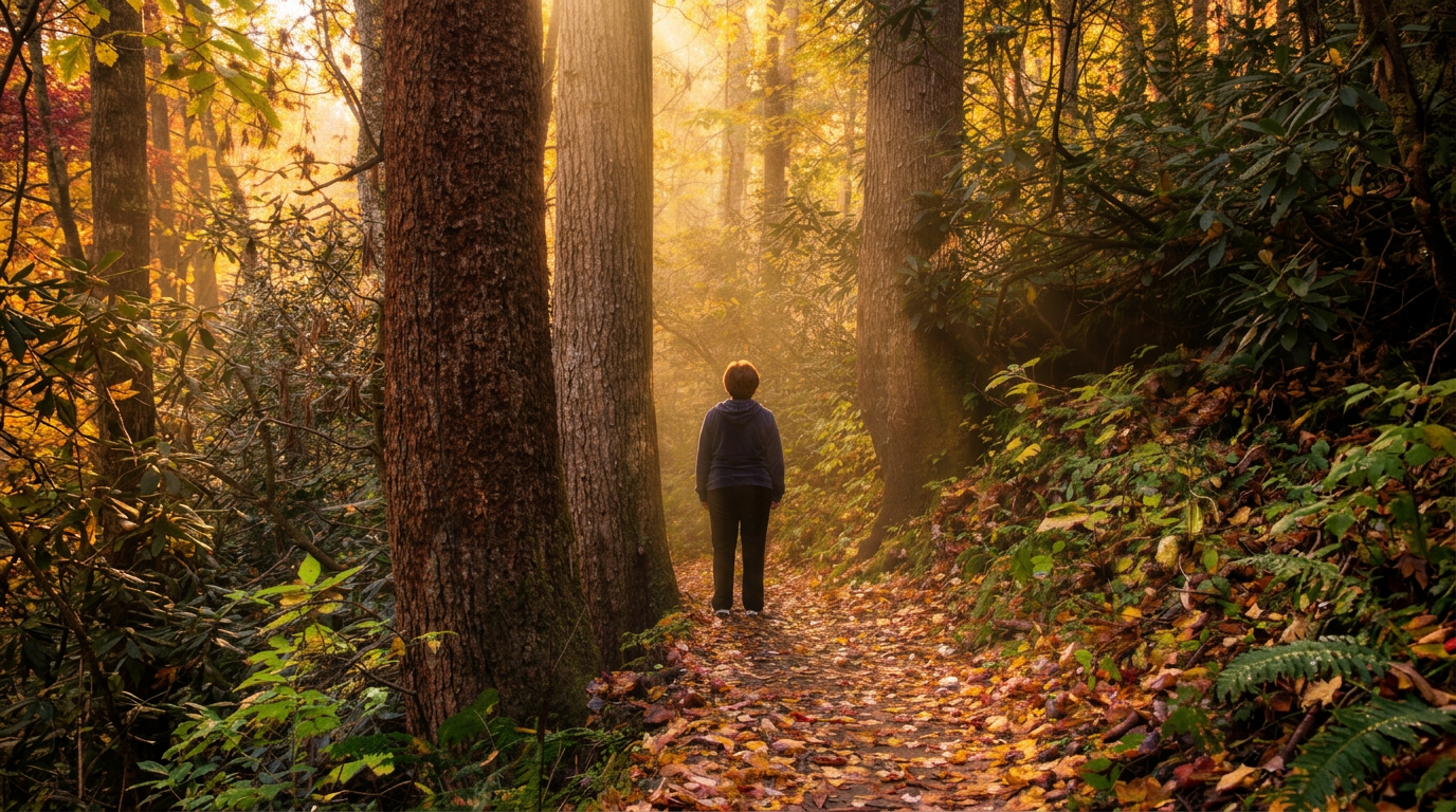
Short hikes in the Smokies region get complicated fast. The national park alone has over 800 miles of trail, and most trip-planning resources dump a raw list without explaining which trails actually deliver, who they work for, or what a first-timer needs to know before pulling into a trailhead at 10am on a Saturday in July.
These 16 picks cover 0.5 to 2.6 miles round-trip and span a wider geography than most guides attempt, reaching inside Great Smoky Mountains National Park, across Eastern Band of Cherokee Indian lands, into the Nantahala National Forest, and as far as Chimney Rock State Park in North Carolina. That matters because some of the best short walks in the region aren't even inside the national park, and spreading out your itinerary is one of the more practical ways to sidestep the crowd bottlenecks that form at trailheads like Laurel Falls or the Clingmans Dome parking lot.
The list is organized by distance, shortest to longest, not by a ranked "best of" order. Use it as a menu: pick what fits your time and what you want to see (views, waterfalls, old-growth, or just accessible pavement).
A few practical things to know before you go:
- Park-It-Forward tag: Most trailheads inside GSMNP require a Park-It-Forward day-use parking tag during peak season (generally May through October). Pick them up at self-pay kiosks at the trailhead or buy in advance online; rangers issue citations.
- Arrive early. Laurel Falls and Grotto Falls parking areas regularly fill by 9am in summer. Before 8am or after 4pm is considerably calmer.
- Not every trail here is inside the national park. Wayah Bald, Joyce Kilmer, Mingo Falls, Chimney Rock, and the Ocoee trails each operate under different land managers with their own fees and rules.
- Cell service is unreliable across much of the park. Download offline maps before leaving the car.
Weather changes fast at elevation. Kuwohi (Clingmans Dome) sits at 6,643 feet, and Andrews Bald is above 5,800 feet; both can have fog, cold wind, and ice well into spring. Conditions at the trailhead tell you almost nothing about conditions a mile up.
- 1
Mingo Falls Trail (Qualla Boundary / EBCI Lands)
0.5 mi · easy · 150 ft gain
0.5-mile out-and-back, easy, 150 ft gain hiking trail in Great Smoky Mountains National Park.
- 2
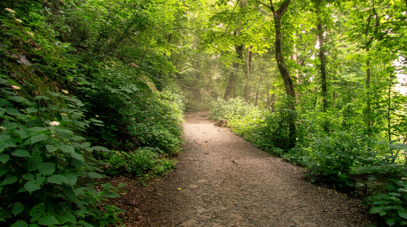
Sugarlands Valley Nature Trail
0.5 mi · easy
Located just outside Gatlinburg, adjacent to the Sugarlands Visitor Center, this 0.5-mile (0.8 km) paved loop trail is a prime example of park accessibility.
- 3
Wayah Bald Tower Trail
0.5 mi · easy
0.5-mile out-and-back, easy hiking trail in Great Smoky Mountains National Park. Highlights: Historic stone fire tower, 360-degree views (including GSMNP on clear days).
- 4
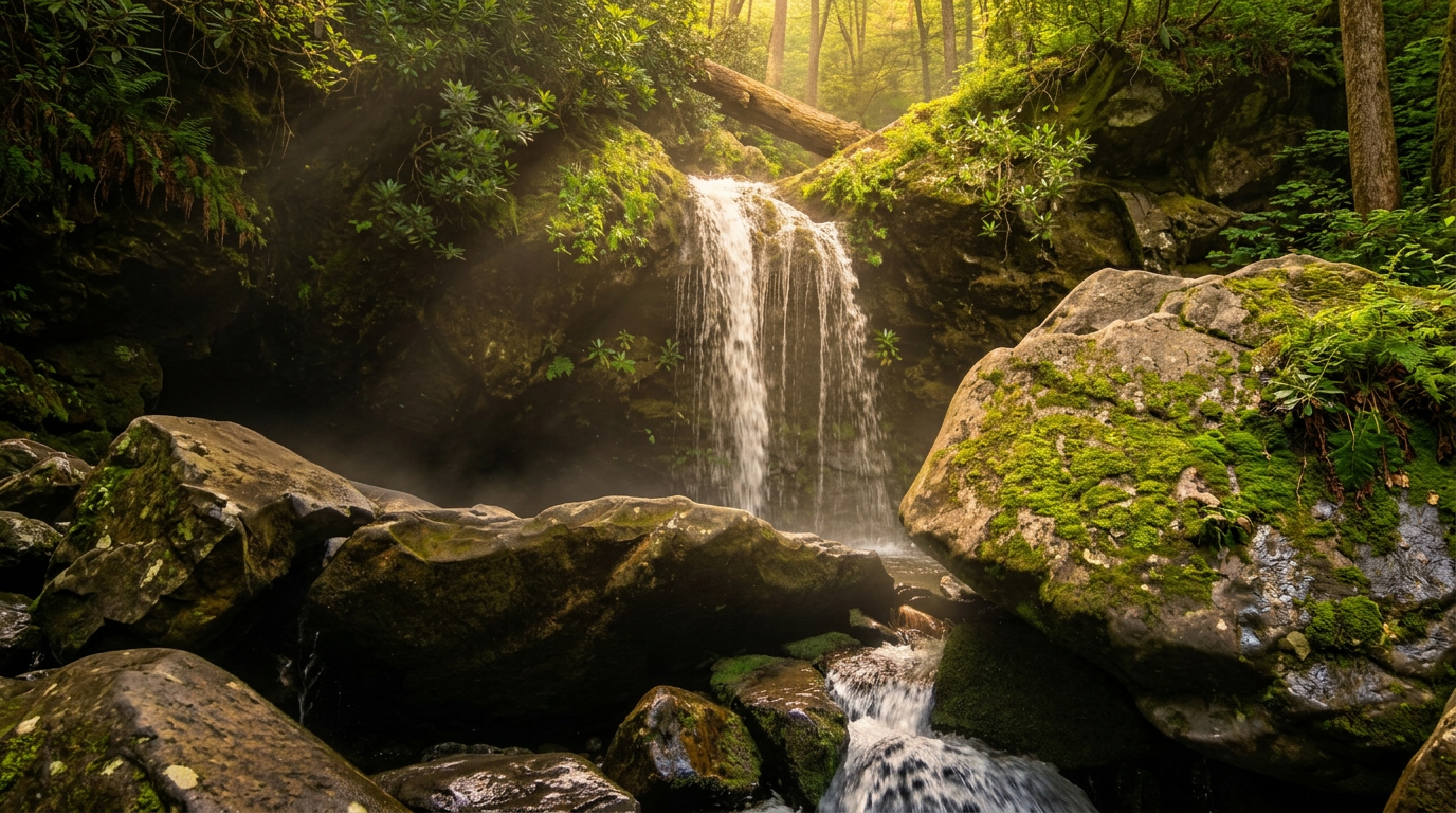
Juney Whank Falls Trail (Deep Creek)
0.6 mi · moderate · 200 ft gain
0.6-mile loop, moderate, 200 ft gain hiking trail in Great Smoky Mountains National Park.
- 5
Cove Hardwood Nature Trail
0.75 mi · easy
A short, accessible loop famous for its diverse wildflower displays.
- 6
Foothills Parkway Trails (various sections, e.g., Look Rock)
1 mi · easy · 100 ft gain
1-mile out-and-back, easy, 100 ft gain hiking trail in Great Smoky Mountains National Park.
- 7
Kuwohi (Clingmans Dome) Paved Trail
1 mi · strenuous · 330 ft gain
1-mile out-and-back, strenuous, 330 ft gain hiking trail in Great Smoky Mountains National Park.
- 8
Chimney Rock State Park Trails
1.4 mi · easy
1.4-mile out-and-back, easy hiking trail in Great Smoky Mountains National Park. Highlights: Chimney Rock, Hickory Nut Falls (404-foot waterfall).
-
 9
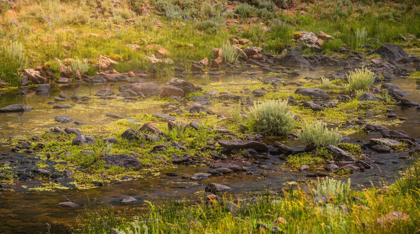
9 Ocoee Whitewater Center Trails
1.5 mi · easy
Ocoee Whitewater Center Trails — Various loops (e.g., Bear Paw Loop 1.5 miles, Chestnut Mountain Loop 2.5 miles) trail, Easy to Moderate.
-
 10
10 Indian Creek Trail (Deep Creek)
1.6 mi · easy
1.6-mile out-and-back, easy hiking trail in Great Smoky Mountains National Park. Highlights: Indian Creek Falls, old homesites.
- 11
Andrews Bald Trail (via Forney Ridge Trail)
1.8 mi · moderate · 300 ft gain
1.8-mile out-and-back, moderate, 300 ft gain hiking trail in Great Smoky Mountains National Park.
-
 12
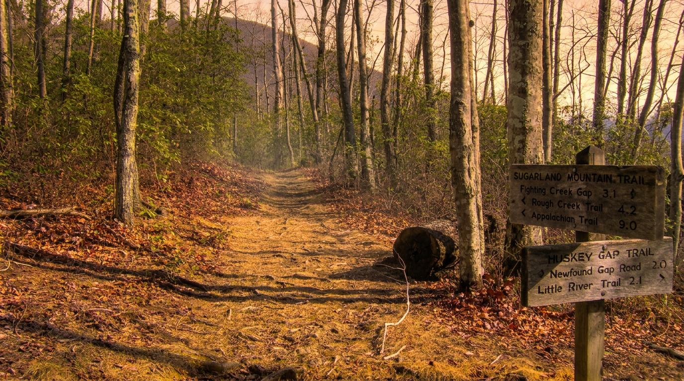
12 Huskey Gap Trail
2.1 mi · moderate · 600 ft gain
2.1-mile point-to-point, moderate, 600 ft gain hiking trail in Great Smoky Mountains National Park.
-
 13
13 Joyce Kilmer Memorial Forest Trails
2.2 mi · easy
2.2-mile loop, easy hiking trail in Great Smoky Mountains National Park. Highlights: Old-growth forest with massive poplars and hemlocks, designated wilderness area.
- 14
Deep Creek Loop (Three Waterfalls Trail)
2.4 mi · easy · 200 ft gain
Deep Creek Loop (Three Waterfalls Trail) — 2.4 miles (loop combining Deep Creek, Indian Creek, and Juney Whank Trails) trail, Easy to Moderate.
-
 15
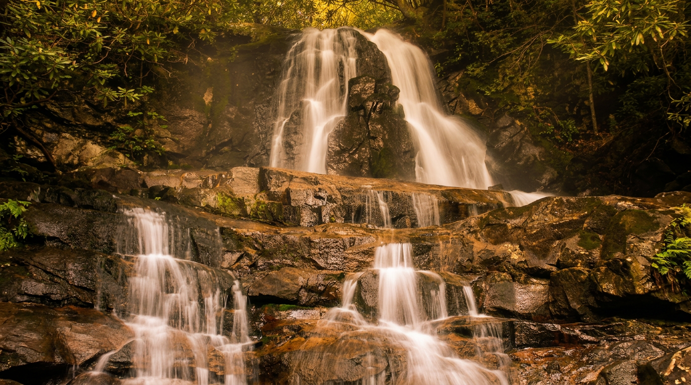
15 Grotto Falls Trail (Trillium Gap Trail)
2.6 mi · moderate · 500 ft gain
2.6-mile out-and-back, moderate, 500 ft gain hiking trail in Great Smoky Mountains National Park.
-
 16
16 Laurel Falls Trail
2.6 mi · easy · 300 ft gain
2.6-mile out-and-back, easy, 300 ft gain hiking trail in Great Smoky Mountains National Park.
Good to know
Best Short Day Hikes in the Smokies: FAQ
Do I need a pass or permit to park at these trailheads?
What's the best time of year for short hikes in the Smokies?
Which hikes on this list work for young children or strollers?
Are any of these trails outside Great Smoky Mountains National Park?
How long should I expect these hikes to take?
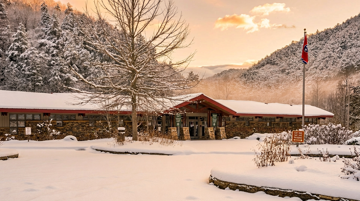
Where to stay
Near the Smokies trailheads
Pick your spots, then lock in where you'll sleep. Compare live cabin, hotel, and rental prices nearby across Booking.com, Vrbo, and Expedia.
Map powered by Stay22. Prices and availability update live.
Keep exploring